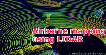
Mapping is a central and common task in robotics research. Building an accurate map without human assistance provides several applications such as space missions, search and rescue, surveillance and can be used in dangerous areas.
One application for robotic mapping is to measure changes in terrain volume. In Sweden there are over a hundred landfills that are regulated by laws that says that the growth of the landfill has to be measured at least once a year.
In this project, a preliminary study of methods for measuring terrain volume by the use of an Unmanned Aerial Vehicle (UAV) and a Light Detection And Ranging (LIDAR) sensor is done. Different techniques are tested, including data merging strategies and regression techniques by the use of Gaussian Processes. In the absence of real flight scenario data, an industrial robot has been used for data acquisition.

Airborne mapping using LIDAR
The result of the experiment was successful in measuring the volume difference between scenarios in relation to the resolution of the LIDAR. However, for more accurate volume measurements and better evaluation of the algorithms, a better LIDAR is needed.
Source: Linköping University
Author: Almqvist, Erik
>> Top 50+ DSP based Project Ideas and Titles for ECE Students