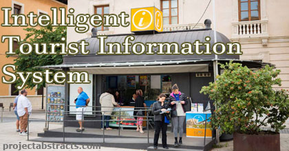
Nowadays people use mobile phones and other mobile devices. Most of us have a small computing device that is always with us. People use it example for calling, as calendar and organizer. Mobile devices with GPS receiver are also used to find paths in navigation.
The main disadvantage of those systems is that we have to know places which we want to visit and they usually do not store any usable, valuable information about points of interest except phone numbers and addresses.
The main idea of this thesis was to design a system that will run on most of phones and palms and will be helpful when visiting some new places and cities. This system should be able to find a route using user criteria.

Intelligent Tourist Information System
Those criteria should be simple and natural, like for example: a list of museums, the most famous historical objects, restaurants to visit, constraints to travel by bus and by walking. The system should find a path that fulfils those criteria, show it on screen, show names of objects, some short descriptions and photos of them and possible entrance costs.
It should also be able to estimate time needed to travel from one object to the next and if it is possible, advise which bus line or other public means of transport may be used. It should be helpful for people that want to visit a city without having much information about it. Paths that are output of this system are only a proposition for trip. They will not be optimal but can not be counter intuitive and must be acceptable by the user.
Source: Heidelberg University
>> GPS based Final Year Project Downloads for ECE & EEE Students
>> Computer Networking Project Topics and Ideas
>> Mobile and Cloud Computing Projects Free Downloads
>> More B.Com Computer Application Projects